Map Your Cycling Route
Plan and map a safe neighborhood cycling route using paper or digital maps, measure distances, mark landmarks, and identify safe stops.

Step-by-step guide to Map Your Cycling Route
The History Of Bikes | Nat Geo Kids Transportation Playlist
Step 1
Gather all the materials listed and bring them to your workspace
Step 2
Pick a starting point and an ending point on your map
Step 3
Draw your main cycling route between the start and end points
Step 4
Draw one alternate route that follows different streets or paths
Step 5
Measure the distance of the main route using the map scale or the map’s measuring tool
Step 6
Measure the distance of the alternate route using the map scale or the map’s measuring tool
Step 7
Write both measured distances clearly in your notebook
Step 8
Mark important landmarks along the main route such as parks schools or stores
Step 9
Mark at least three safe stops on the main route like benches crosswalks or bike racks
Step 10
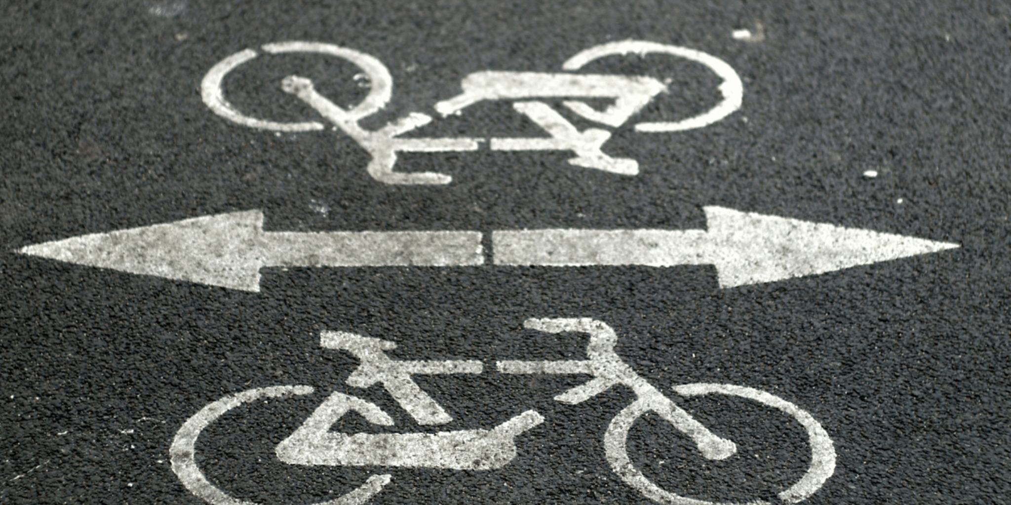
Label bike lanes traffic lights sidewalks and busy roads along the main route
Step 11
Choose which route looks safest and highlight that route on your map
Step 12
Calculate the estimated ride time for the chosen route using an average speed of 10 km/h (6 mph)
Step 13
With an adult, walk or ride the chosen route slowly to check for hazards
Step 14
Update your map to show any changes or hazards you found during the test
Step 15
Share your finished map and safety notes on DIY.org
Help!?
What can I use if I don't have a printed map or a ruler for the map scale?
Use a digital map (like Google Maps) and its measuring tool as a substitute for a printed map and ruler, then record the measured distance in your notebook as the instructions direct.
My route distances don't match when I re-measure—what should I check?
Make sure you're using the same map scale or the map’s measuring tool each time, carefully re-draw the exact main and alternate routes on the map, and write both measured distances clearly in your notebook to spot calculation mistakes.
How can I adapt the activity for younger kids or older kids?
For younger children, have an adult help choose start/end, draw the main route, and mark two landmarks and a safe stop, while older kids can add GPS tracking, measure both routes precisely, calculate estimated ride time using 10 km/h (6 mph), and perform the adult-supervised walk/ride test.
How can we make the finished map more detailed or personal?
Enhance the map by color-coding bike lanes, traffic lights, and safe stops, adding photos and updated hazard notes from your test ride, and then share the finished map and safety notes on DIY.org as instructed.
Watch videos on how to Map Your Cycling Route
10 Insane Bike Trails That Will Make You Go Riding
4 Videos
10 Insane Bike Trails That Will Make You Go Riding
How To Draw A Family Road Trip

Road Safety Rules and Tips for kids of Kindergarten,Preschoolers,Toodlers
Top 5 Things to Do on a Car Journey for Kids
Facts about cycling safety and route planning
🗺️ On a 1:10,000 map, 1 cm equals 100 meters — perfect for planning neighborhood bike routes.
🚲 Casual cycling speed for kids is usually 10–15 km/h (6–9 mph), so a 3 km ride takes about 12–20 minutes.
🌍 OpenStreetMap is a free, editable world map that anyone can update — people like you help make it better!
⛑️ Wearing a properly fitted helmet greatly reduces the risk of serious head injury in a crash.
📍 Using clear landmarks (parks, murals, stop signs) makes routes easier to follow and safer to navigate.
How do I plan and map a safe neighborhood cycling route with my child?
What materials do we need to map a cycling route with kids?
What ages are suitable for planning a cycling route with kids?
What are the safety tips and benefits of mapping a cycling route with kids?
