Make a data visualization map
Collect data about your neighborhood—favorite parks, trees, or bike routes—and create a colorful map visualization using paper, markers, and stickers.


Step-by-step guide to make a data visualization map
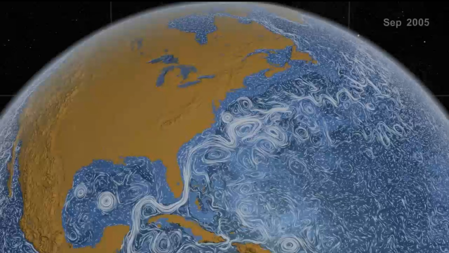
How to Create a Basic Map Chart in Tableau | Beginner's Guide
Step 1
Gather all the Materials Needed and put them on a clear table or desk.
Step 2
Choose a small part of your neighborhood to map like one block a park or your bike route.
Step 3
Draw a simple outline of the streets paths and major shapes of the area on your paper using pencil and ruler.
Step 4
With an adult go outside and look for favorite parks trees and bike routes to observe.
Step 5
Write each place you notice in your small notebook and mark roughly where it is in the area.
Step 6
Count how many parks trees and bike routes you wrote down and group them into categories.
Step 7
Pick one colour and one symbol for each category and draw a legend box on your paper that explains them.
Step 8
Put stickers or draw the symbols from your legend onto your map exactly where each place is located.
Step 9
Use sticker size or the number of stickers to show which places are most popular or have the most trees.
Step 10
Add clear labels for street names park names or other important spots and give your map a bold title.
Step 11
Decorate the edges check that every symbol on the map matches the legend and erase any pencil guide lines.
Step 12
Share your finished colorful neighborhood map on DIY.org
Help!?
What can I use instead of stickers, colored pencils, or a ruler if I don't have them?
If you don't have stickers, colored pencils, or a ruler from the 'Materials Needed' list, substitute colored paper dots or cut paper shapes for stickers, use felt-tip pens or markers for color, and use a straight edge like a book or piece of cardboard instead of the ruler when you 'Draw a simple outline of the streets' on your paper.
My streets and symbols look messy or misplaced—how do I fix it?
If streets or symbols get messy after Step 3 and Step 11, erase lightly drawn guide lines, use the ruler or straight edge to redraw streets, and test sticker placement with removable sticky notes before committing to the final stickers or symbols so each symbol matches the legend.
How can I adapt this map activity for a 4-year-old or a 12-year-old?
For a 4-year-old, simplify Steps 4–7 by mapping only one or two features like 'favorite park' using pre-cut stickers with an adult guiding the walk, while a 12-year-old can extend Steps 6–9 by counting items, using a scale for distances, and adding numeric labels for popularity.
What are creative ways to make the map more interesting or detailed after finishing it?
After Step 12, enhance your map by gluing small photos or leaf rubbings next to each symbol, using sticker size or extra stickers as suggested in Step 10 to create a visual popularity scale, and then upload the finished map when you 'Share your finished colorful neighborhood map on DIY.org.'
Watch videos on how to make a data visualization map
13. Mapping Made Easy: Geographic Maps in Tableau
4 Videos
13. Mapping Made Easy: Geographic Maps in Tableau
How to Create a Map Visualization in Power BI Step by Step Guide
How to Make a Choropleth map | Step-by-Step Tutorial for Beginners (2025)

"Tableau Heat Map & Tree Map Tutorial | Data Visualization Made Easy!"
Facts about mapmaking and data visualization
🗺️ Humans have made maps for thousands of years — one of the oldest known world maps comes from ancient Babylon (6th century BCE).
🎨 Bright colors and simple icons make maps easier to read and remember, which is perfect for a fun neighborhood map.
🌍 OpenStreetMap is a free map anyone can edit — people worldwide add parks, bike paths, and trees to help their communities.
🚲 Mapping bike routes can show safer or faster paths and inspire more people to choose cycling for short trips.
📍 Collecting favorites like parks or trees teaches real data skills: tallying, comparing, and turning numbers into pictures.
How do you make a neighborhood data visualization map?
What materials are needed to create a colorful neighborhood map?
What ages is this data visualization map activity suitable for?
What are the benefits of making a neighborhood data visualization map?
